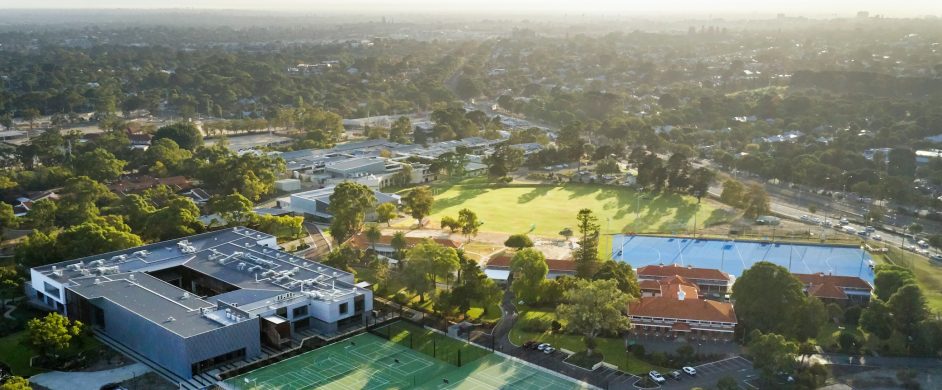
Catchment Map
We welcome all prospective students from our catchment area. Through our GATE program for academically gifted students, we also accept a limited number of students residing outside our catchment.
If you live in an ‘optional catchment area’, a choice of schools are available to you.
The following defines the local-intake area for Shenton College effective for enrolments for 2020 onwards
In June 2017, the State Government announced its decision to build a new local intake secondary school, Bob Hawke College, on Kitchener Park in Subiaco.
Several local intake areas, including ours, were amended to create a local intake area for Bob Hawke College, which took effect in 2020 when Bob Hawke College opened for Year 7 enrolments.
As per the Government’s commitment, families living in our previous local intake area (outlined at the foot of this page) at the time of this announcement continue to have the option to send their children to our school or Bob Hawke College if they are in its local intake area. Evidence of this residence status at the time of the announcement will be required as part of the enrolment application process.
From the point on the Swan River foreshore where the Narrows Bridge crosses over Riverside Drive, west through Kings Park to the junction of Thomas Street and Nicholson Road, west along Nicholson Road (south side included) to Railway Road, north east along Railway Road (north west side included) to the intersection of Hay Street, Railway Road and Roberts Road, west along Hay Street (south side included) to Troy Terrace, north east through Lords Recreation Centre to the junction of Price Street and Rossello Lane, north west along Rossello Lane (south west side included) to the walkway between 50 Rossello Lane and 52 Rossello Lane, north east along the walkway between 50 Rossello Lane (included) and 52 Rossello Lane (excluded), to the steps leading to the circular pathway, down the steps to the circular pathway, north along the pathway to a point due south of the centre of the lake, north through the centre of the lake to Old Jacaranda Way and continuing north along Old Jacaranada Way (west side included) to Denton Street, north along Denton Street (west side included) to Cambridge Street, east along Cambridge Street (north side included) to Harborne Street, north along Harborne Street (west side included) to Grantham Street, west along Grantham Street (south side included) to The Boulevard, north west and west along The Boulevard (south side included) and its western extension to the coastline, south along the coastline to the local government boundary between Town of Mosman Park and the City of Fremantle, east along this local government boundary to the Swan River foreshore, in a generally northerly and easterly direction along the Swan River foreshore to the point where the Narrows Bridge crosses over Riverside Drive.
The following defines an optional area between John Curtin College of the Arts, Melville Senior High School, Shenton College and Fremantle College:
From the Stirling Bridge, north along the Swan River western foreshore to the local government boundary between the City of Fremantle and the Town of Mosman Park, north and west along this local government boundary to the coastline of the Indian Ocean, south along the coastline to North Mole, east and north east along the north wharf of Fremantle Harbour and the northern foreshore of the Swan River to the Stirling Bridge.
The following defines an optional area between Bob Hawke College and Shenton College:
From the intersection of Nicholson Road and Hensman Road, north along Hensman Road (west side included) to Barker Road, west along Barker Road (south side included) to Railway Road, south west along Railway Road (south east side included) to Nicholson Road, and east along Nicholson Road (north side included) to Hensman Road.
The following defines an optional area between Bob Hawke College and Shenton College:
From the intersection of Cambridge Street and Harborne Street, west along Cambridge Street (south side included) to Denton Street, south along Denton Street (east side included) to Old Jacaranda Way, south along Old Jacaranda Way (east side included) and its southern extension through the lake to the circular pathway, south along the circular pathway to the steps leading to the walkway leading to Rossello Lane, south west up the steps to the walkway, south west along the walkway between 50 Rossello Lane (excluded) and 52 Rossello Lane (included) to Rossello Lane, south east along Rossello Lane (north east side included) to the junction with Price Street, south west through Lords Recreation Centre to the junction of Hay Street and Troy Terrace, east along Hay Street (north side included) to Roberts Road, generally north east along Roberts Road (north west side included) to Centro Avenue), north west along Centro Avenue (south west side included) to Harborne Street and north along Harborne Street (west side included) to Cambridge Street.
Download a map of Shenton College Catchment 2020
The following defines the previous local-intake area for Shenton College
From the Narrows Bridge, north along the Mitchell Freeway to Wellington Street, west along Wellington Street to Roberts Road, west along Roberts Road to Rokeby Road, north across the railway line to the southern end of Station Street (southern section), north along Station Street (southern section), to Salvado Road, west along Salvado Road to Station Street (northern section), north along Station Street (northern section) to Cambridge Street, west along Cambridge Street and its extension into Oceanic Drive to West Coast Highway, south along West Coast Highway to the junction of West Coast Highway and Rochdale Road, west from this junction to the coastline, south along the coastline to the local government boundary between Town of Mosman Park and the City of Fremantle, east along this local government boundary to the Swan River foreshore, in a generally northerly and easterly direction along the Swan River foreshore to the Narrows Bridge. The boundary parts of the Mitchell Freeway (west side), Wellington Street (south side), Roberts Road (south side), Station Street (southern and northern sections, west side), Salvado Road (south side), Cambridge Street (south side), Oceanic Drive (south side) and West Coast Highway (east side) are included within the local-intake area for Shenton College.
We encourage parents to contact the College to get specific clarification about Shenton College catchment areas.
Download a map of the previous catchment area.